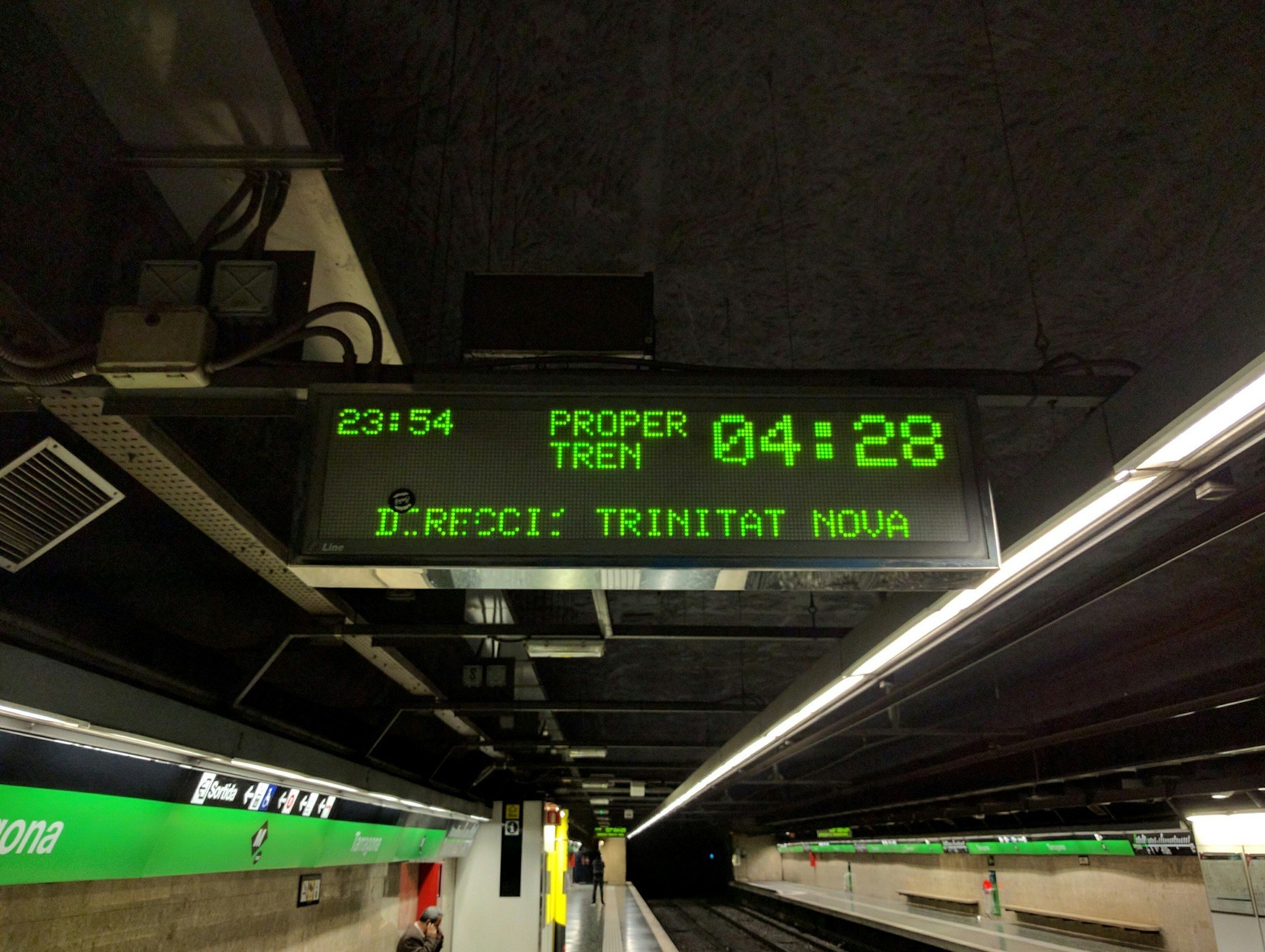
For many people, quality transit information is far more important than driving directions and traffic.
I'm a huge advocate for taking public transit. Whether you're living in a city or just visiting, if you're fortunate enough to have access to a public train system, you should use it when possible. Google Maps does a great job of showing transit directions, which really lowers the barrier for using public transit while traveling.
But as you get familiar with a transit system where you live, you reach the point where you stop following the generic Google Maps directions and start applying your own knowledge and intuition to your travels. You know that this subway entrance is better than that one. That station has construction going on for the next 6 months (if you're lucky). This line is always crowded in the afternoon. That route is technically faster, but it creates a really annoying transfer with potential for a missed train. I'm okay walking a further distance during the day than late at night.
Google Maps does a pretty darn good job of providing transit directions, including incorporating realtime information on delays and service changes. But I want more configurability. Just like I can tell Google Maps to avoid tolls or highways when I'm driving, and update to new faster routes in real time, I want to avoid certain things in a train system too. Right now, there are options, but they're pretty basic: you can choose whether you want to avoid buses or streetcars, and choose to limit walking or limit transfers.
I fully understand having options for less walking, fewer transfers and wheelchair access — those are all accessibility features that are very important. But why not go further? As soon as I'm comfortable with a transit system, I'm far more likely to want to avoid certain lines, stations and transfer points than I am to avoid taking a bus or a tram.
For many people, quality transit information is far more important than driving directions.
Let me avoid specific stations entirely. Let me avoid lines that I don't like. Let me take control of my routing once I've figured out these sorts of subtle things. It's all personal preference, but it matters! And just like you're able to report crashes, traffic revisions and police activity while driving in Google Maps and Waze, why not make it just as easy to do the same for transit? There are tons of little quirks and intricacies that can only come from people who are actually on the trains — Google Maps sometimes asks you how crowded your subway car is, and that's it.
There's a big difference between needing basic A-to-B directions in a new place, and using Maps as a tool to augment my existing knowledge of a transit system. Google Maps seems particularly focused on helping the former group, not the latter. For a huge population of people, new-and-improved driving directions mean nothing; but more granular control over transit directions would improve their daily routine.
from Android Central - Android Forums, News, Reviews, Help and Android Wallpapers https://ift.tt/2Oyb4ER
via IFTTT


Aucun commentaire:
Enregistrer un commentaire